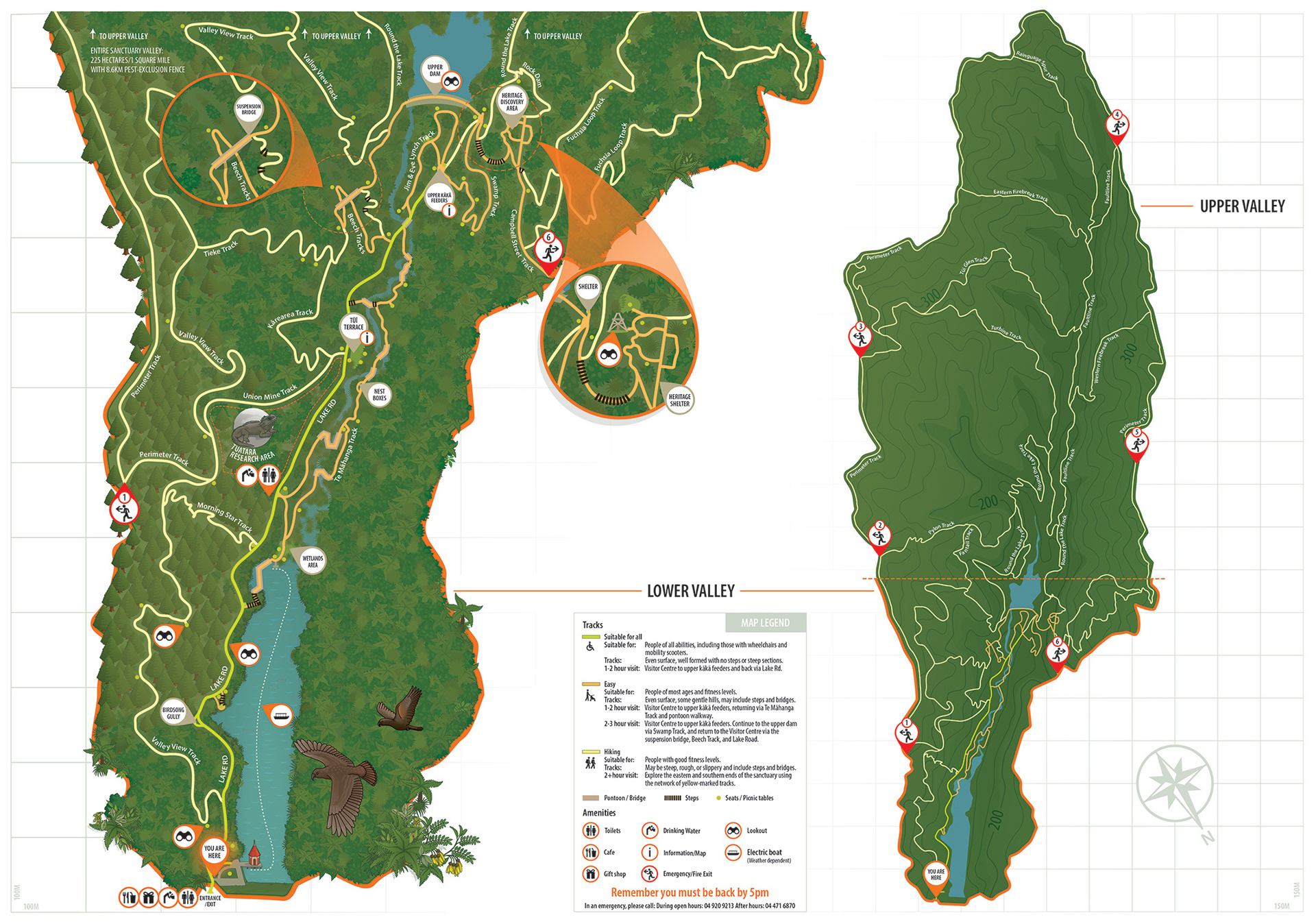
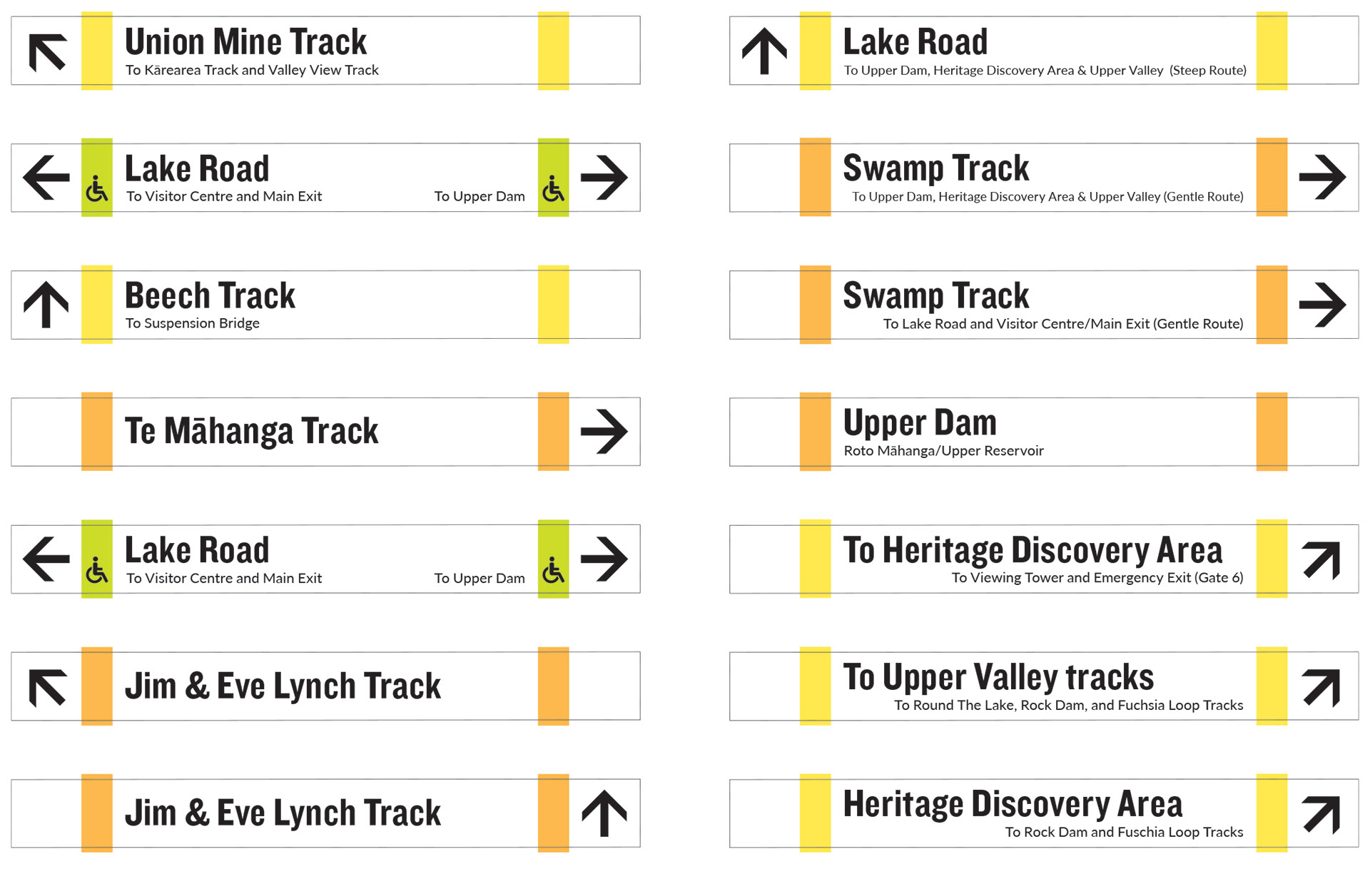
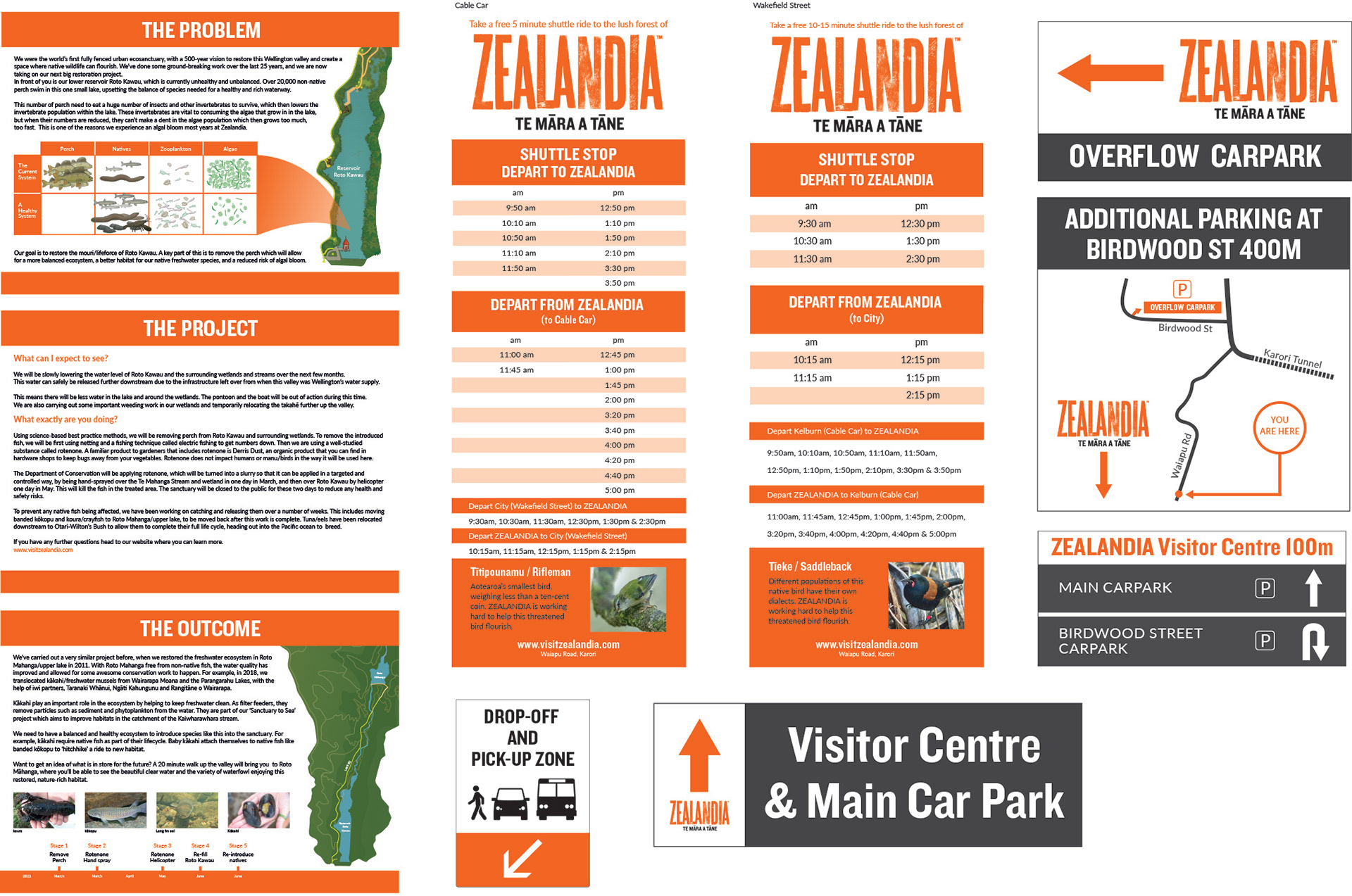

This was a very satisfying commission, to be able to spend time developing a visitor friendly map & a complete set of signage for a unique wildlife sanctuary, Zealandia has two distinctive areas, the lower valley - primarily day trippers, families, and tourists, with a number of different tracks, and the Upper valley normally locals, people visiting again, more familiar with the area, mainly hiking tracks. As a result each area had a very different set of requirements, but needed to read as a cohesive whole... the resulting maps offer plenty of flexibility to be used as seperate Lower, Upper valley maps, and as a unified map. The signage was broken into two parts, the way finding (pathway) signs and the information signs, with over 100 way finding signs they needed to be simple, legible & align clearly back to the main maps. It was important for the information signs to clearly speak to their audience and connect with Zealandia, keeping to a reduced colour palette & simple graphics helped establish a uniquely Zealandia set of signs, easily located & read, wether amongst the bush or within an urban environment.